

 Delivered
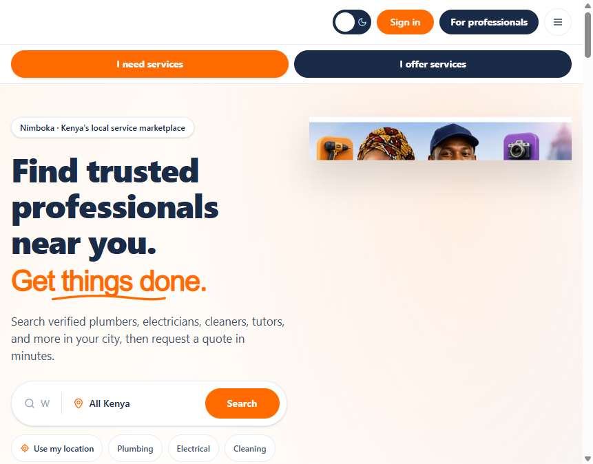
Nimboka.com website development
Nimboka Service Marketplace
Kenya
End-to-end web platform connecting Kenyan households and businesses with verified local professionals.
Web ApplicationsSaaS PlatformsUI/UX Design
View case study

We deliver end-to-end geospatial solutions, from data collection and remote sensing to interactive GIS platforms and dashboards.
500+
Projects Delivered
20+
Years of Experience
200+
Enterprise Clients
50+
Expert Professionals
GIS, drones, remote sensing, surveying, and environmental work delivered as complete project scopes.
Selected concluded work across marketplace platforms, coastal tourism websites, and confidential story map programmes.
DeliveredNimboka.com website development
Kenya
End-to-end web platform connecting Kenyan households and businesses with verified local professionals.
 Delivered
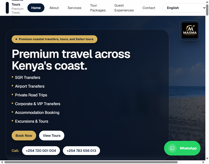
Masmatours.com website development
Mombasa & Diani Coast, Kenya
Premium travel and tour booking website for Kenya's coastal tourism market, featuring airport transfers, Diani beach escapes, Wasini island tours, and Tsavo safaris with WhatsApp booking integration and responsive design.

KSA story map development
Kingdom of Saudi Arabia
Client NDA in force. Details withheld publicly.
“EGS built a GIS platform we actually use for infrastructure planning. Clear communication, solid technical work, and on-time delivery.”

Dr. James Mwangi
Director of Planning, Nairobi County Government
“Their drone surveys and environmental monitoring reports helped us meet compliance deadlines without rework. Reliable field team.”

Sarah Wanjiku
Environmental Manager, Mining Corporation Ltd
“EGS migrated our utility network GIS without downtime for field crews. Strong project control and clean data handover.”

Peter Ochieng
GIS Manager, National Utility Company

Share your goals and challenges. We will propose the right solution and a practical plan.


